Conservation Brief
USGS Releases Western Big Game Migrations Report
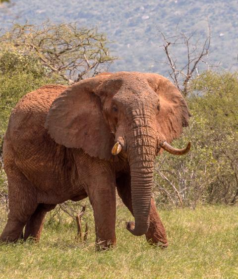
On November 12, the U.S. Geological Survey (USGS) released a report featuring maps of the migration corridors of ungulates including mule deer, elk, pronghorn, moose, and bison in the West. Ungulate Migrations of the Western United States: Volume 1 compiles the mapping data collected and analyzed for more than 40 migration routes in the states of Arizona, Idaho, Nevada, Utah, and Wyoming. The fish and wildlife agencies in these states worked in collaboration with the USGS through the Corridor Mapping Team to collect and analyze the data that will help wildlife managers target priority areas for habitat conservation. These coordinated science and conservation efforts are all part of the implementation of Department of the Interior (DOI) Secretary’s Order 3362 (SO 3362) on big game migration corridors and winter ranges.
“I’m really proud of the team that worked across multiple agencies to transform millions of GPS locations into standardized migration maps,” said Matt Kauffman, lead author of the report and director of the USGS Wyoming Cooperative Fish and Wildlife Research Unit. “Many ungulate herds have been following the same paths across western landscapes since before the United States existed, so these maps are long overdue.”
The Corridor Mapping Team was formed in 2018 shortly after SO 3362 was signed. Scientists with USGS provide technical assistance to the state fish and wildlife agencies to analyze the GPS collaring data being collected by the states using research funding from DOI through SO 3362. Using the Brownian Bridge Movement Model, the team is able to create heat maps, which represent ‘hot’ and ‘cold’ spots as probabilities of animals using certain areas. The mapping and analyzation techniques were pioneered in Wyoming through a collaboration between the Wyoming Game and Fish Department and the USGS Cooperative Research Unit at the University of Wyoming.
“Just like Wyoming, Nevada has long valued our mule deer migrations,” said Tony Wasley, director of the Nevada Department of Wildlife. “This effort has provided us with a new level of technical expertise to get these corridors mapped in a robust way. We look forward to using these maps to guide our stewardship of Nevada’s mule deer migrations.”
In addition to managers from the respective state wildlife agencies, the report was coauthored by collaborating biologists from the USDA Forest Service, the National Park Service, and the Bureau of Land Management, among others. The maps themselves were produced by cartographers from the USGS and the InfoGraphics Lab at the University of Oregon. The information provided by the migration maps will allow wildlife managers to identify road crossing hotspots, movement bottlenecks, or critical winter range within a big game population and prioritize these areas for conservation.
“We greatly appreciate the hard work of the U.S. Geological Survey and the collaboration with state fish and wildlife agencies for publishing this impressive volume on western big game migrations,” commented Mule Deer Foundation President/CEO, Miles Moretti. “The implementation of SO 3362 has been a top priority for the Mule Deer Foundation over the last two years through our Migration Corridors and Winter Range Initiative. The ability to visualize where the highest priority areas for conservation action are will help MDF and our partners make achievable improvements in the places that will make the biggest difference for mule deer.”