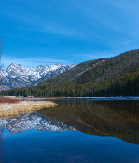
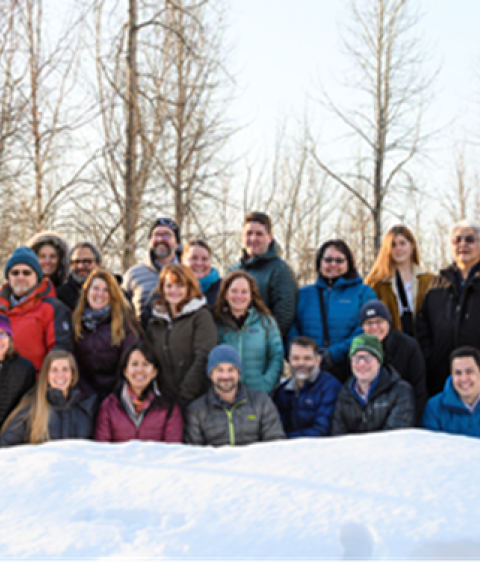
Three diverse partnerships are promoting sustainable environments and communities across Alaska and northwestern Canada. The Aleutian-Bering Sea Initiative (ABSI) and Northwest Boreal Partnership (NWBP) are successors to Landscape Conservation Cooperatives (LCCs) established in 2011. Along with the Western Alaska LCC (WALCC) these partnerships have continued to operate, with support from the Wildlife Management Institute (WMI), the Alaska Conservation Foundation (ACF), and Volgenau Family Foundation following the withdrawal of support for LCCs by the Department of the Interior (DOI) in 2017. ABSI, NWBP, and the WALCC continue to contribute vital information and conservation products for their members. For example, ABSI designed Geo-fences in Alaska’s arctic marine waters in partnership with industry, agencies, and tribes to help redirect shipping to protect vital marine mammal habitat and reduce the risk of vessel grounding, oil spills, or illegal entry into Alaska. The NWBP published Drivers of Landscape Change in the Northwest Boreal Region, a comprehensive synthesis of the science related to resource management and climate adaptation across 1.3 million square kilometers in Alaska and northwest Canada. The WALCC is facilitating collaborative projects to mitigate the impacts of sea level rise, loss of permafrost, and changing ice dynamics on critical migratory bird habitat and communities along Alaska’s west coast. Steering Committees from the three partnerships met recently in Anchorage to develop strategies to seek programmatic funding to support the collaboration essential to landscape scale conservation across the region.